
Description
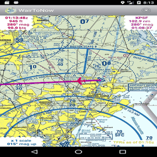
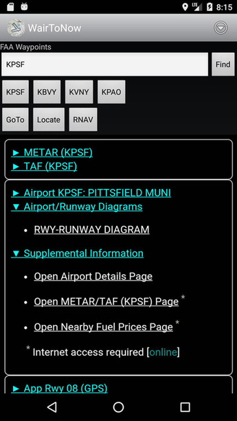
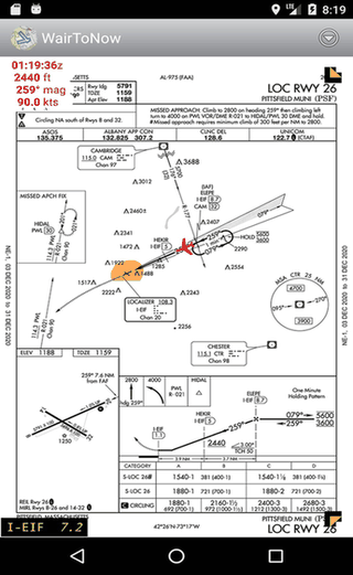
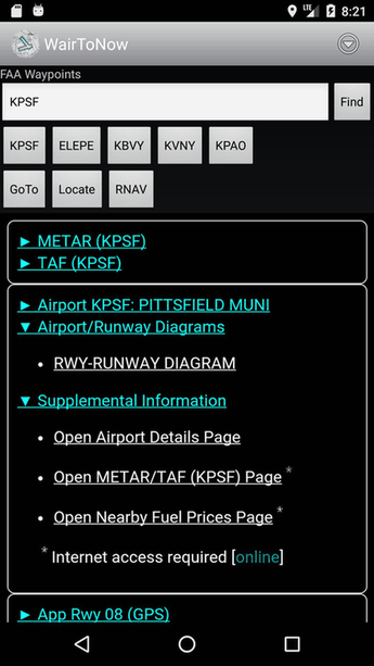
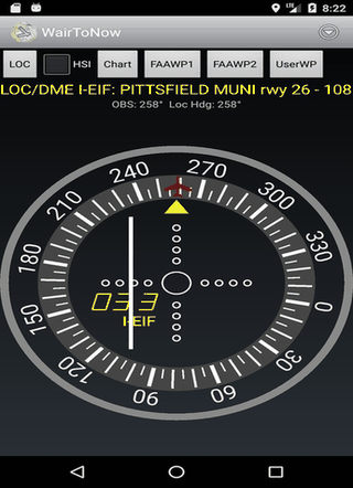
This free app provides geo-referenced airport diagrams and approach plates for US charts, including sectionals and terminal areas. It also uses OpenStreetMap for nearby navigation and offers runway diagrams with customizable DME displays. Perfect for pilots seeking detailed, accessible aviation mapping tools.
Screenshots
Click to view full size
Click to view full size
Click to view full size
Click to view full size
Click to view full size
Click to view full size