Description
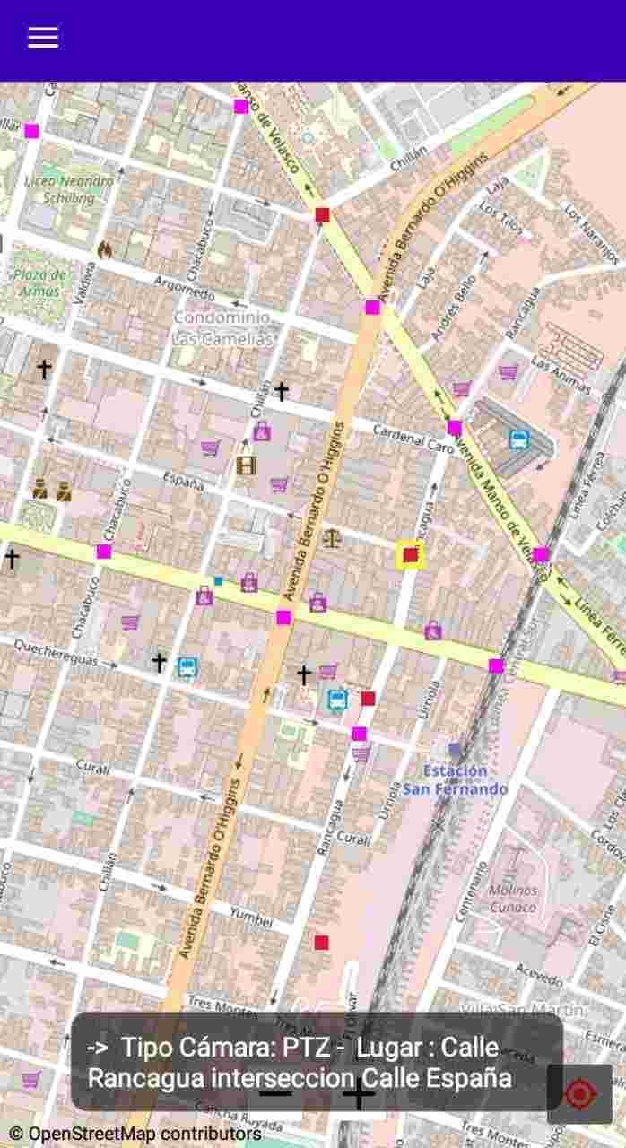
RegisCat maps Chile's surveillance cameras using OpenStreetMap—no tracking or Google Maps. Just needs internet; location and storage access are optional. Note: This is a BETA app, so some features might not work perfectly yet.
Screenshots
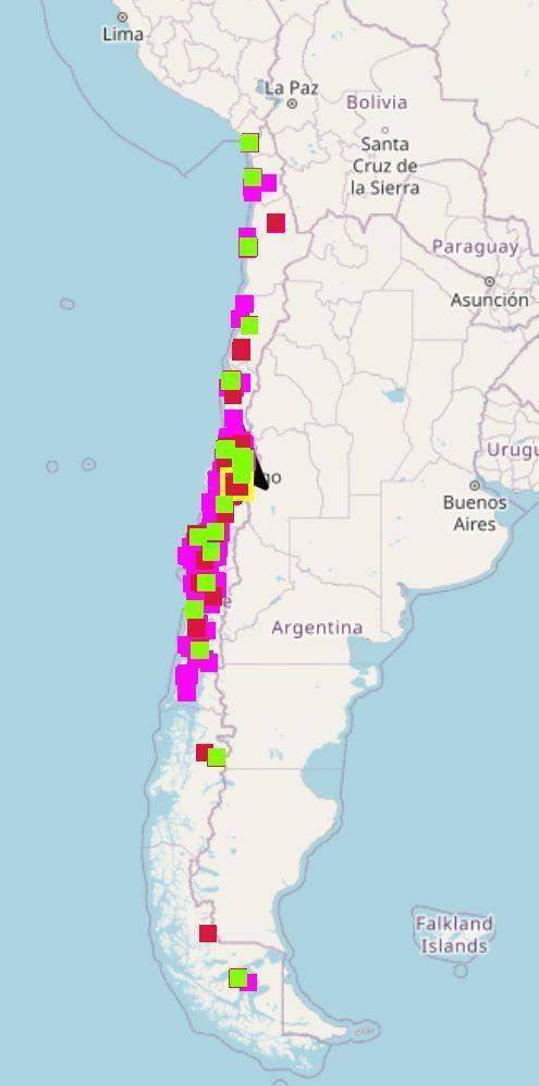
Click to view full size
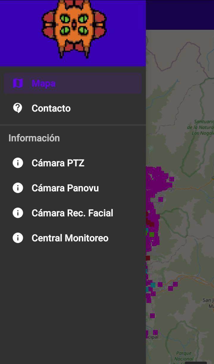
Click to view full size
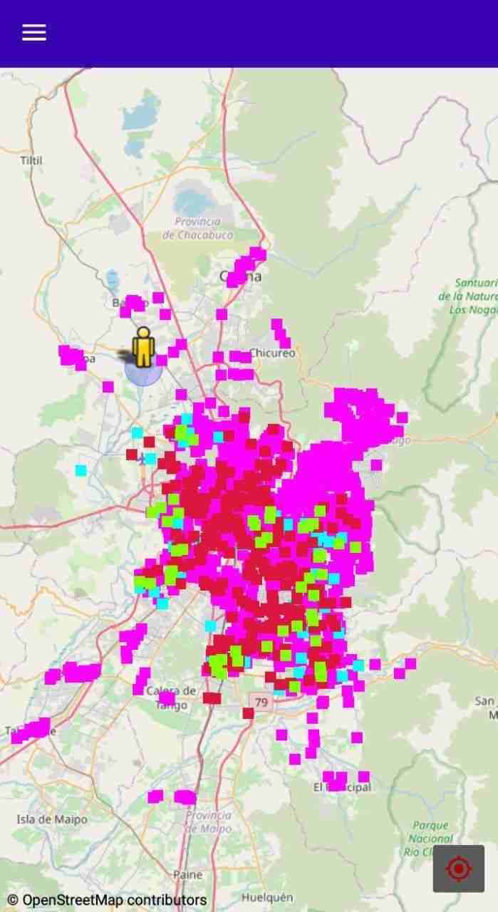
Click to view full size
Click to view full size
Click to view full size