
OpenJUMP
Shapefile and GML editor for spatial data projects
Description
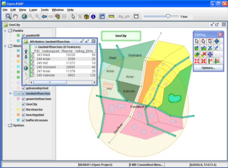
OpenJUMP specializes in handling shapefiles and GML files for spatial data projects. Create new projects with organized layers and categories, then edit both geometric features and their associated attributes. The software includes customizable settings to optimize your workflow, serving as both a viewer and editor for various GIS data formats in a single application.
Screenshots
Click to view full size