GeoNetwork
Organize geographic information systematically
Description
As a dedicated open-source platform, GeoNetwork helps systematically organize geospatial metadata. It serves government, scientific, and environmental organizations by providing tools to publish, share, and manage geographic data such as maps and remote sensing outputs. By enforcing standardization, it ensures data is well-structured and easily retrievable. This systematic approach reduces clutter, improves data quality, and enables stakeholders to leverage spatial information effectively for planning, monitoring, and reporting purposes.
Screenshots

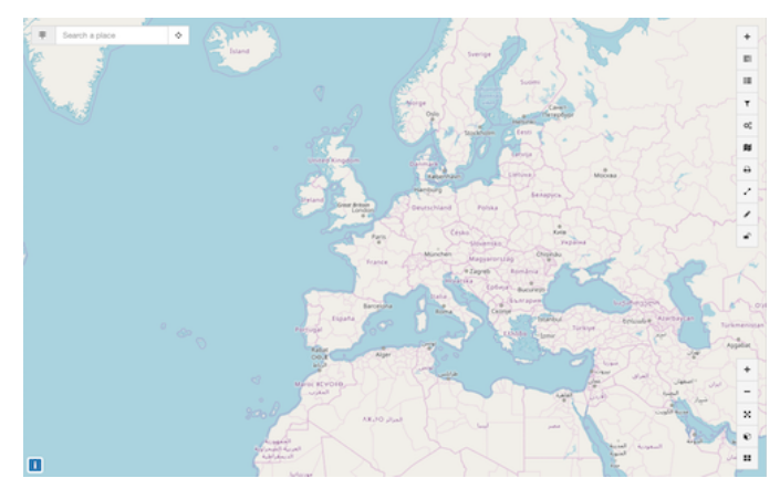
Click to view full size
