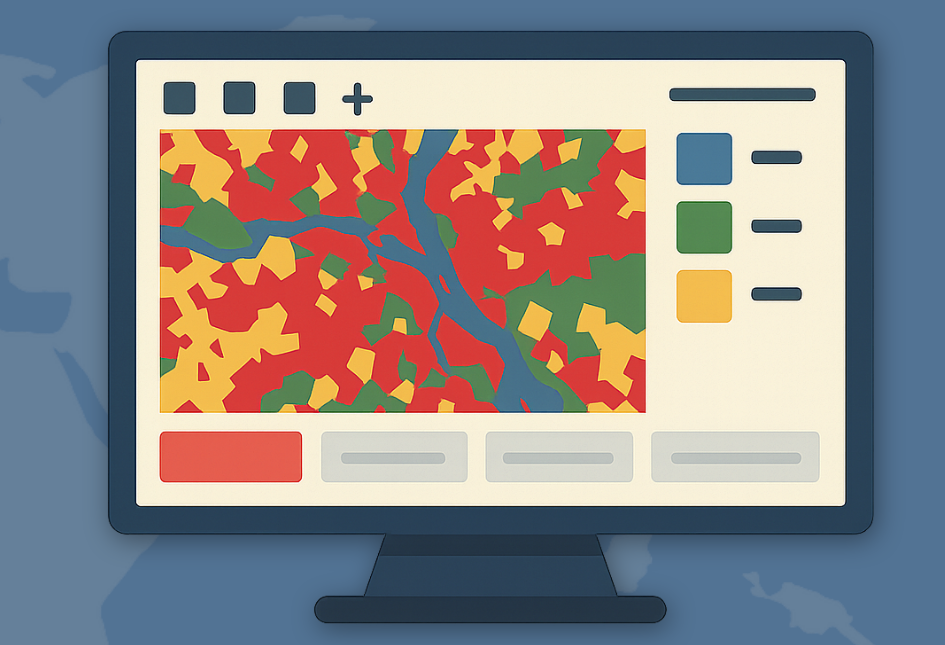
TatukGIS Viewer
Supports ArcView and MapInfo projects
Description
TatukGIS Viewer is an advanced GIS map application that not only opens and renders over 75 geospatial data formats but also supports professional projects from ArcView, MapInfo, and ArcExplorer. This capability allows users to seamlessly transition their work from other GIS platforms, maintaining project integrity and data consistency. The tool handles vectors, images, grids, and database layers, providing a comprehensive viewing experience for diverse spatial data needs. Its simplicity and broad format support make it an ideal companion for GIS professionals and enthusiasts alike.
Screenshots

Click to view full size
