
OlmoEarth
Visualize and analyze Earth data maps
Description
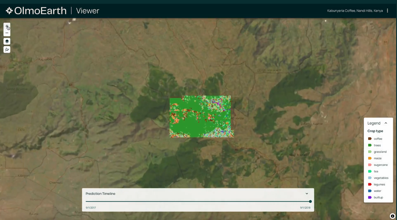
OlmoEarth offers powerful tools for visualizing and analyzing Earth data through dynamic maps. The platform supports model-generated visualizations that highlight trends and anomalies, aiding in tasks such as wildfire forecasting and mangrove loss tracking. With features for near-real-time monitoring and deforestation cause assessment, it simplifies complex geospatial data into clear, actionable intelligence for environmental stewardship.
Screenshots
Click to view full size