
Java Graticule 3D
3D geographic visualization and analysis platform
Description
Java Graticule 3D revolutionizes geographic visualization with its advanced 3D earth rendering and map display capabilities. Beyond stunning visual representation, the software provides comprehensive geodetic estimation tools for professional surveying and spatial analysis. The streamlined interface makes complex calculations accessible, while supporting both Mac and Linux environments. From coordinate transformations to network estimations, every feature is designed to enhance productivity and accuracy in geospatial projects, making it an essential tool for modern geographic professionals.
Screenshots
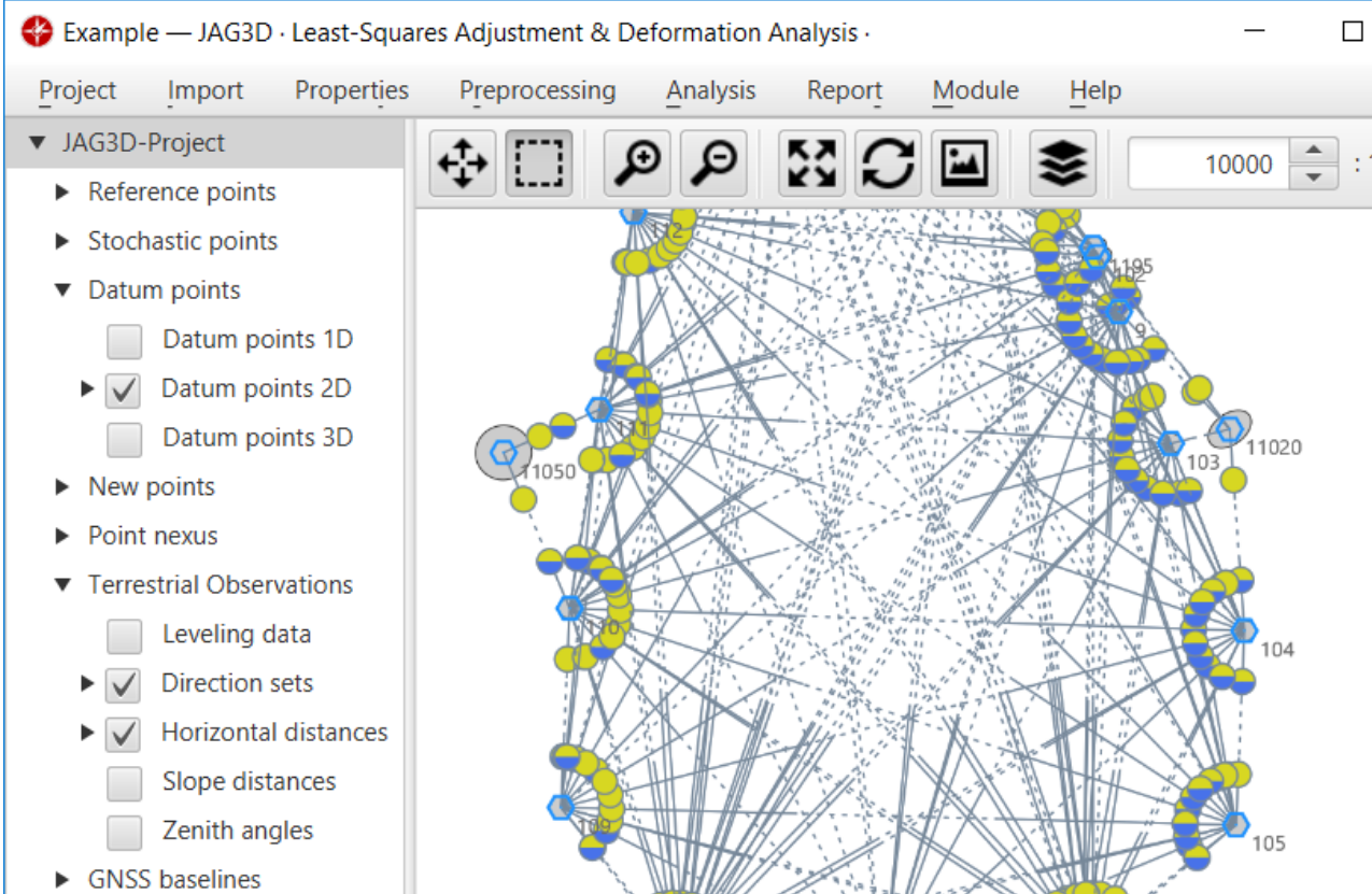
Click to view full size