
Panoply
Explore array data with NASA plotting tools
Description
Use Panoply to explore and visualize array-structured datasets, including netCDF, HDF, and GRIB formats. This NASA-crafted application offers a user-friendly interface for generating raster plots from geo-gridded information, perfect for data analysis in fields like geoscience and engineering. You can manipulate data layers, adjust color scales, and export high-quality images, all without cost. It's designed to make complex data accessible and interpretable for professionals and enthusiasts alike.
Screenshots
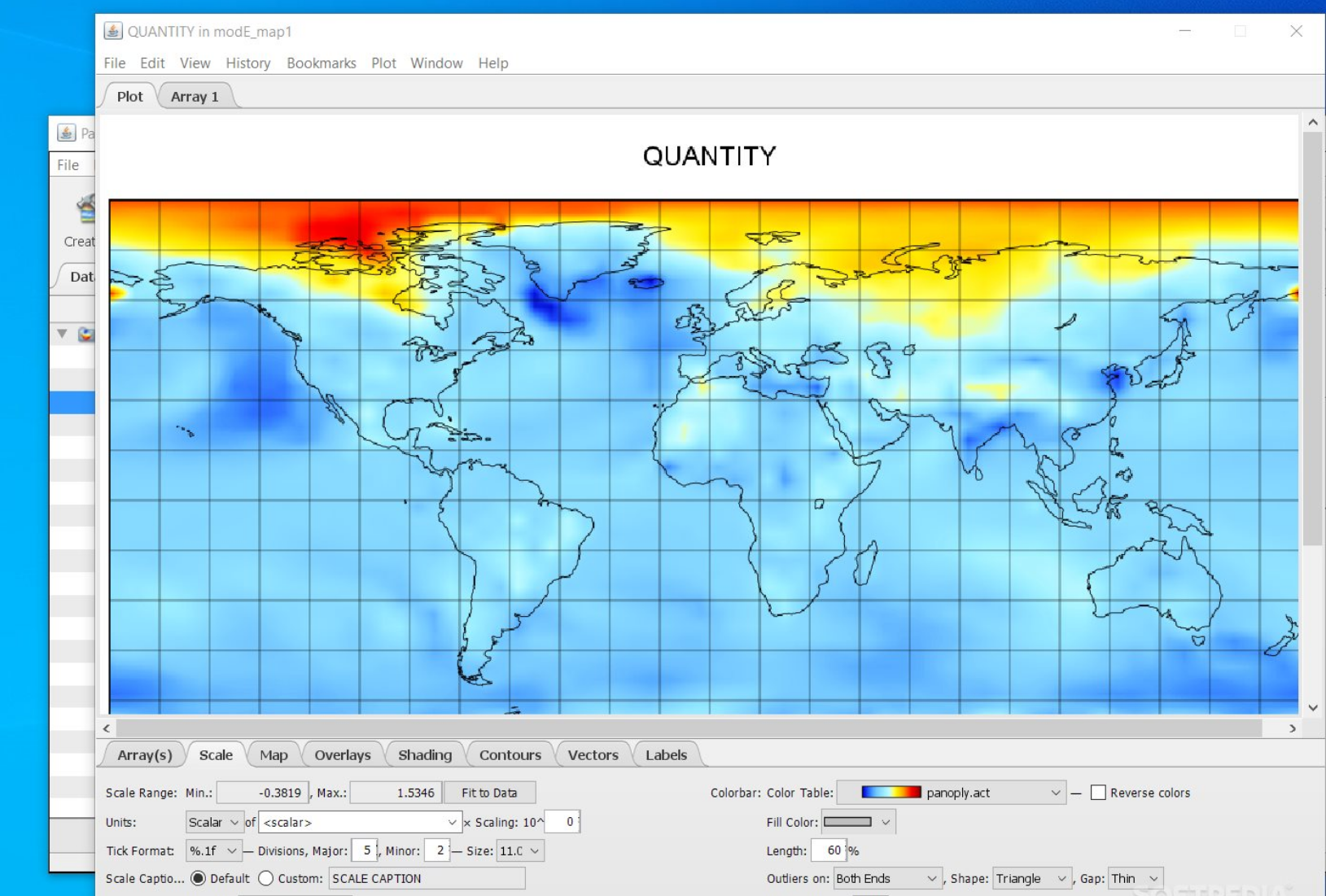
Click to view full size